The pandemic is helping to usher in a new era of food-production forecasts that rely more on satellite data and artificial intelligence and less on information gathered by people, reportsBloomberg Supply Lines.
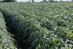
The crop world, including major trading houses and statisticians at the U.S. Department of Agriculture, has long depended on scouts trudging through fields to count corn kernels and soybean pods. But travel restrictions and new virus safety measures have cut participation in field tours at a time of increasing scrutiny over food security.
New systems to track fields are popping up globally. Marex Spectron and Kumi Analytics launched a product that’s using geo-spatial technology and machine learning to estimate U.S. acreage and yields.
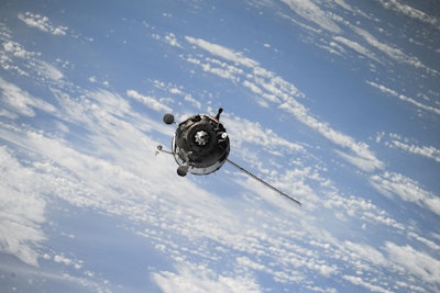
In Argentina, the second so-called Saocom satellite dish was launched in August. The technology beams back sophisticated images because its radar — unlike optical satellites — can pierce clouds to show how fields are affected by drought or floods. The satellites can even penetrate beneath the surface to provide data on soil moisture, a key indicator for farmers.


